Larney’s Bridge was constructed late 1912 over Power’s Creek/Power Gully on Exhibition Road, Southside, Gympie.
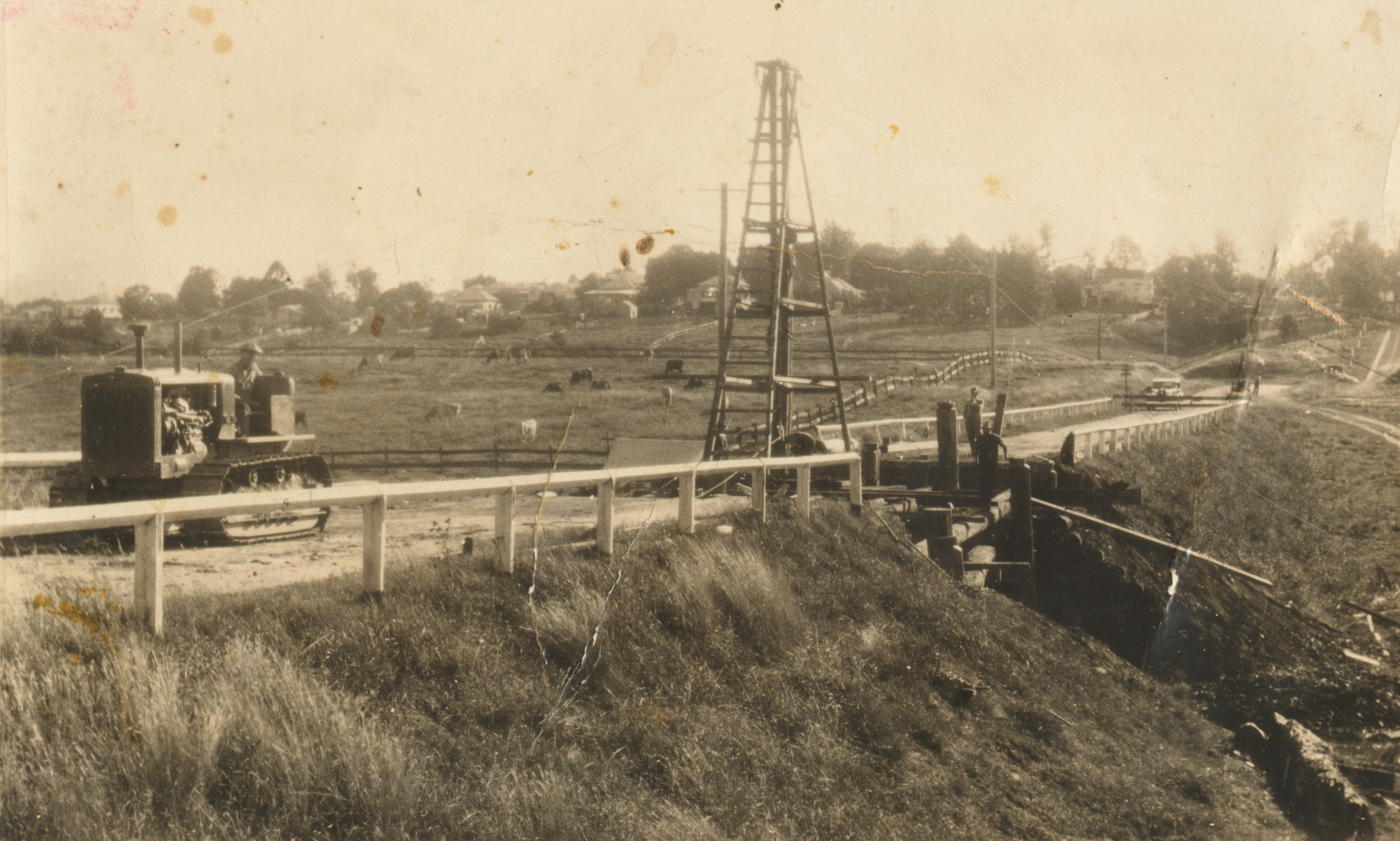
Larney’s Bridge during construction. Photo from Stan Smerdon
In The Gympie Times on 6 July 1912, it was reported that a couple of council gangs were combined to “cut down Donovan’s Hill and erect new bridge on Exhibition Road” and that they were “sorry to say this work is not progressing favourably on account of so much wet weather”.
On 19 September 1912, the combined gangs reported for the Widgee Shire Council Overseers report, published in the Gympie Times, that they were expecting to have the bridge and raising of the road at Donovan’s completed “for this meeting but I am sorry to say it is not so”.
Early in the construction of this bridge, it was also referred to as “Donovan’s Bridge” being that the Donovan’s owned the property (Original Portion 374 shown below) with the house on the corner of Exhibition Road and Stumm Road, Southside.
The Bridge settled on the name Larney’s Bridge named after James (Jim) Larney. The Larney dairy farm was also on Stumm Road.

The Gympie Times, 12 October 1918
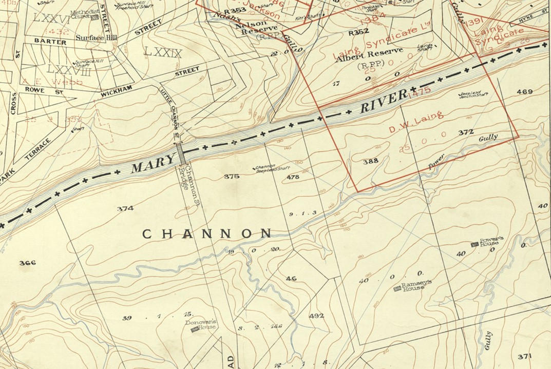
Excerpt Sheet 10 – Topographical Map of Gympie and Environs, B. Dunstan, Government Geologist, 1901

Larney’s Bridge, 30 January 1986

The Gympie Times, 29 December 1934
